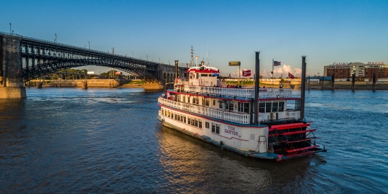
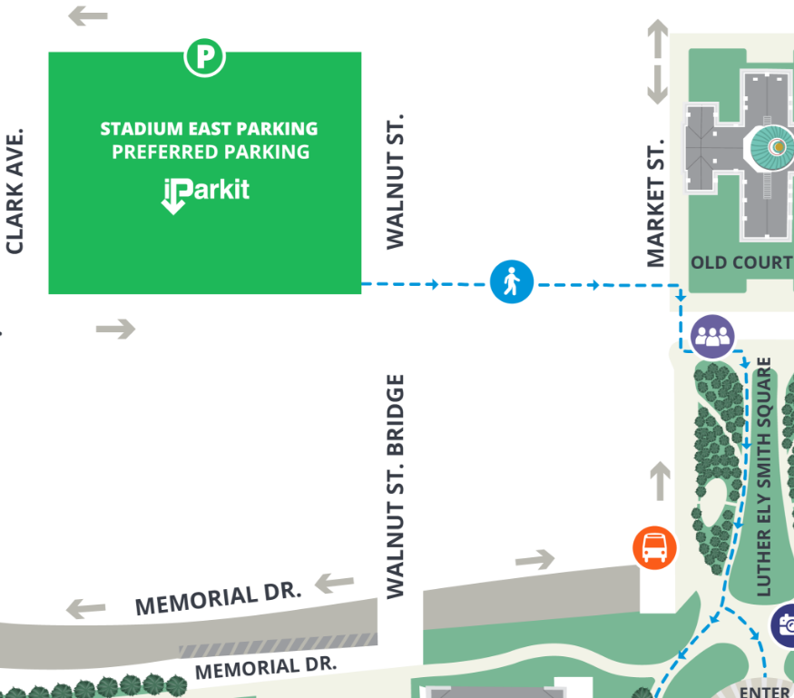
Riverboat Parking & Directions
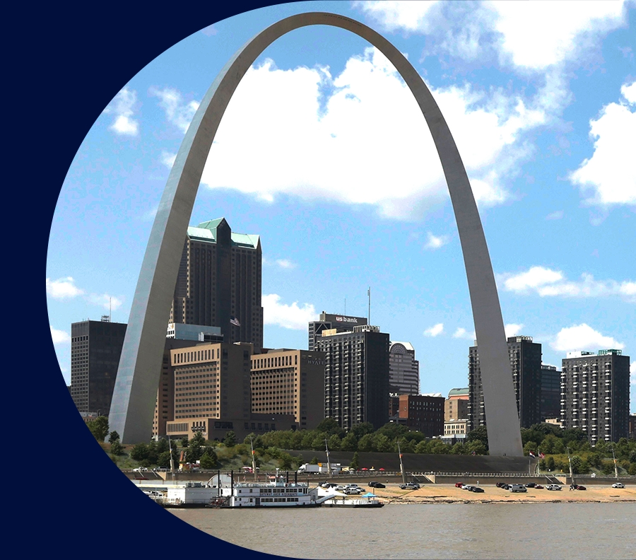
The riverboats at the Gateway Arch are located along the riverfront’s cobblestone levee at 50 S. Leonor K. Sullivan Blvd. St. Louis, MO 63102. If you are looking for St. Louis riverfront parking, two options are available for all visitors before they embark on their adventures on a riverboat cruise or in Gateway Arch National Park.
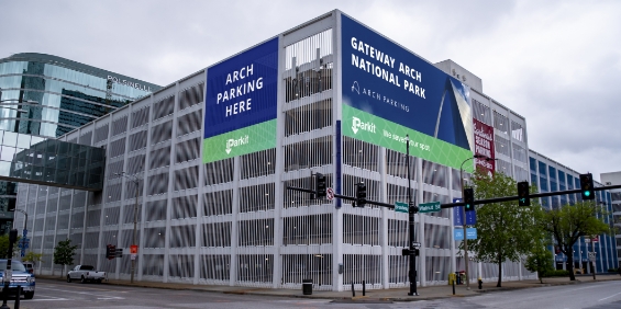
Riverfront Parking on the Levee
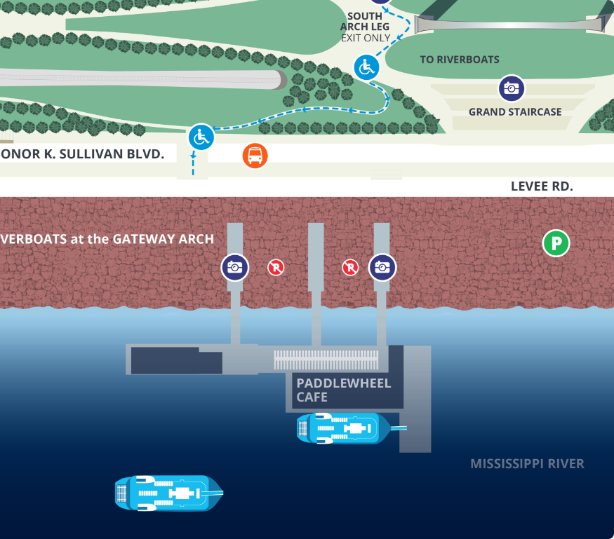
The historic cobblestone levee serves as a parking option for visitors who are taking a riverboat cruise along the Mississippi River. Riverfront parking is available for a fee (card only) and is not operated by the Gateway Arch or Riverboats at the Gateway Arch.
Here are a few parking tips to keep in mind as you plan for your experiences on the St. Louis riverfront:
Use GPS navigation to “The Mural Mile.”
To drive to the riverfront, please note that access is available south of Gateway Arch National Park via Chouteau Avenue. While GPS navigation is often helpful, it may not always be accurate in guiding you directly to the levee. For a more precise route, we suggest entering “The Mural Mile” into your GPS and then making a left turn onto Leonor K Sullivan Boulevard proceeding through the inbound lane to the right of the booth.
Parking is subject to weather conditions.
Due to its proximity to the Mississippi River, the riverfront parking lot may be unavailable due to river conditions.
Levee parking may be steep for some individuals.
If you have a wheelchair, limited mobility or worry about uneven walkways, please walk cautiously on the cobblestone levee especially during low river levels. Additionally, if you are a wheelchair user, make sure to use the designated smoothed pathways to board the riverboats.
Interstate Directions to the Riverfront From Missouri
Interstate Directions to the Riverfront From Illinois
Riverfront Parking & Directions FAQ
-
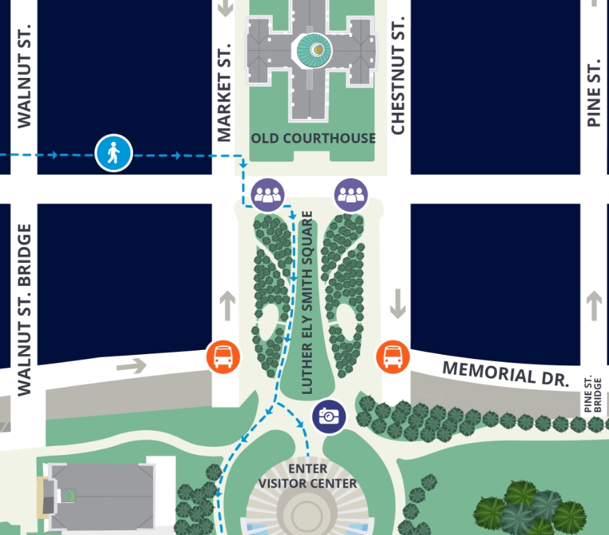
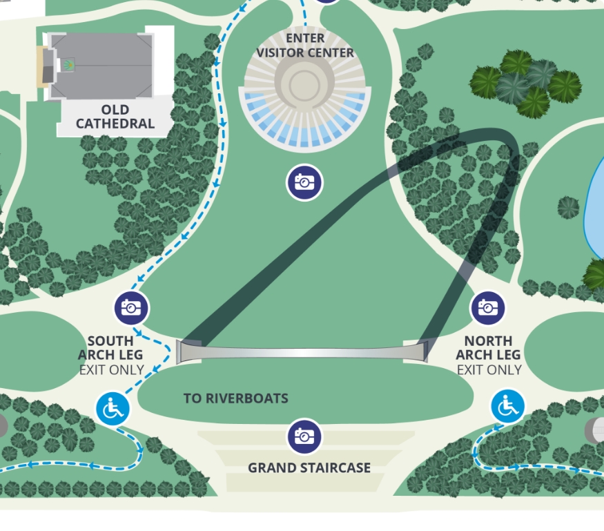
 Point of InterestClick stars for additional details
 -
 Parking
 -
Accessible Ramp Entrance
-
Photo Opportunity
-
Pedestrian Route
-
Pedestrian Drop Off
-
 Accessible Pedestrian Route
 -
Bus Drop Off
-
Road Closed
-
MetroLink Station
-
No Parking